The Great Smoky Mountains is both the name of one of the most visited national parks and the ancient mountain chain that straddles the North Carolina and Tennessee border. This mountain chain is well-known for its biodiversity and stunning landscapes — but just where are the best places to see such?
The following is a look at some of the most popular and thus most visited places in the Smoky Mountains and just what draws so many people to them:
1. Cades Cove
GPS Directions Here

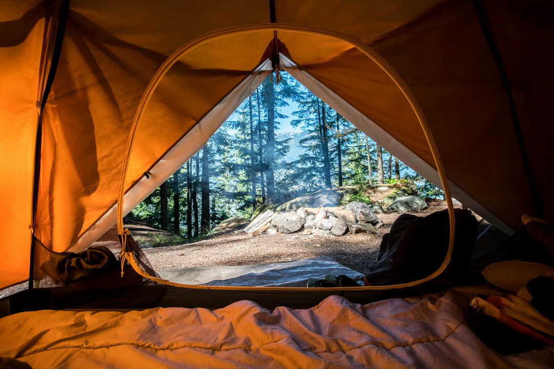
Cades Cove is a gorgeous valley nestled in the western side of the Great Smoky Mountains National Park. This valley features a variety of trails, including an 11-mile loop road, for guests to explore. Here, you can visit historic structures like a grist mill, view an array of wildlife, and catch a spectacular, unimpeded starry expanse come nightfall. If possible, we recommend spending a night camping at Cades Cove Campground. This gorgeous campground offers several trails, including ones leading right to Cades Cove where you can explore the area early in the morning and late in the afternoon when the crowds are few and the animals more active.
2. Newfound Gap
GPS Directions Here

Newfound Gap is the scenic roadway that winds through the Great Smoky Mountains National Park and connects Gatlinburg, TN with Cherokee, NC. One of the many great spots to stop along this roadway is at the Rockefeller Memorial. President Franklin D. Roosevelt dedicated this two-tiered stone structure at the opening of the park, stating that the national park would be for the “permanent enjoyment of the people.” Another must-visit spot on Newfound Gap is the Campbell Overlook which features gorgeous Mount Le Conte.
3. Clingmans Dome
GPS Directions Here
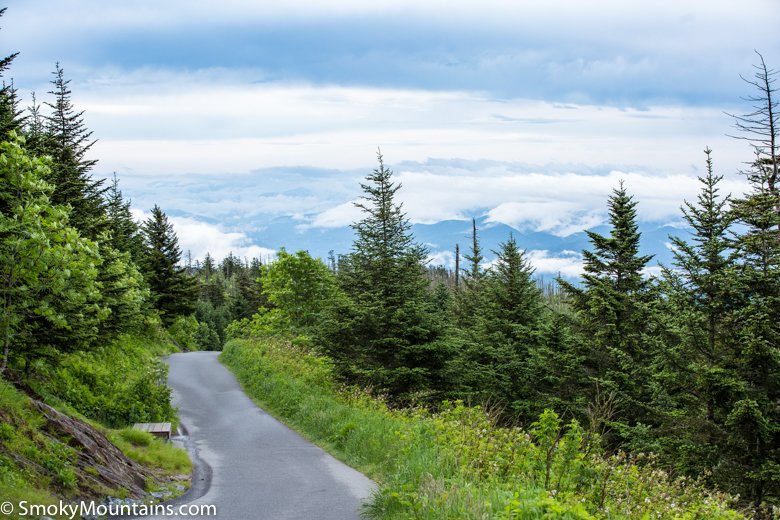
Clingmans Dome is one of the highest points you can climb on this side of the Mississippi. It is, in fact, the highest point in the Great Smoky Mountains National Park. The walk up to this platform isn’t for the faint of heart as its observation tower offers 360-degree views of the surrounding mountains and valleys. Immediately surrounding the observation tower are a unique species of high-altitude spruce-fir trees that provide a special type of habitat for a rich array of plant and animal species you won’t find elsewhere. On a clear day, you can see as far away as 100 miles. At night, the high elevation and generally low light pollution turn Clingmans Dome into an excellent spot for stargazing.
4. Laurel Falls
GPS Directions Here

Laurel Falls is perhaps the most frequently visited waterfall in the Smoky Mountains. That’s because it is a nice blend of being one of the most picturesque and most accessible. You will find this 80-foot waterfall at the end of a short 1.3-mile hike along a paved trail (this is actually one of the few paved trails in the park, making it a hot location for those with accessibility concerns, such as those wheeling a baby stroller). Perhaps the best time to visit Laurel Falls is in the spring when the mountain laurel, the flower after which the falls are named, blooms big and adds a colorful border to the plunging waters.
5. Alum Cave Bluffs
GPS Directions Here

This is another nice and easy hike that is very popular among visitors to the Great Smoky Mountains. The Alum Cave Bluffs Trail is a five-mile round-trip hiking trail that takes visitors into old-growth forests and past stunning landmarks like Inspiration Point and Arch Rock. The biggest highlight of the trail is the Alum Cave Bluff which, despite its name, is not exactly a cave. Instead, it is more of a massive outcropping, an outcropping so large that it can easily accommodate several hundred people. We find this a great place to enjoy a cool lunch before your hike back out.
6. Roaring Fork Motor Nature Trail
GPS Directions Here

This hiking trail offers a great way for guests to enjoy a peaceful motor journey through the local forest. The name of the trail comes from the mountain stream, Roaring Fork, which is one of the largest and fastest-moving mountain streams within the national park. The trail itself is a one-way loop road that is just over five miles long and with plenty of pull-off points for guests to get out and get close to some of the more beautiful sights along the way.
7. Chimney Tops
GPS Directions Here
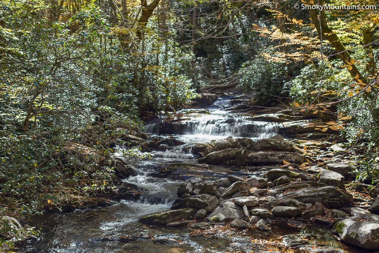
Chimney Tops is one of the most popular destinations for hikers looking for a challenging and rewarding hike in the Smoky Mountains. Note, however, that this hiking trail is not for the faint of heart and, like most hikes in the Great Smoky National Park, is not pet-friendly. The Chimney Tops hiking trail is about 3.5 miles round-trip with a massive elevation change of 1,400 feet (making it a very steep and strenuous trail). Those who undertake the challenge of this Chimney Tops climb are rewarded with some of the most spectacular trail-side views as, following a switchback, the trail continues alongside Sugar Mountain and up to a ridge that offers incredible views of Monte Le Conte.
8. Grotto Falls
GPS Directions Here
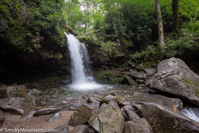
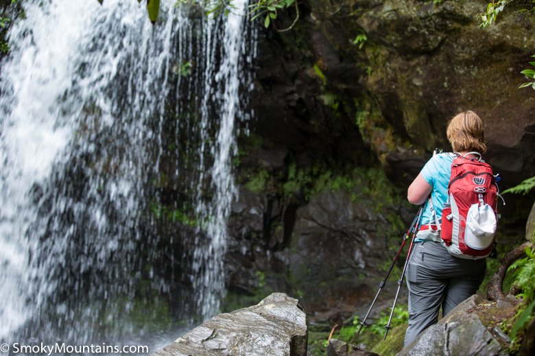
Grotto Falls is another frequently visited waterfall in the Great Smoky Mountains National Park. This waterfall can be found along the 2.6-mile Trillium Gap Trail and is best known for being the only waterfall in the region that visitors can walk behind. Grotto Falls is best visited during the hot days of summer when getting sprayed by that cool mountain water becomes very welcoming after the hike.
Learn More About the Smoky Mountains

The above eight spots are certainly the most visited places in the Smoky Mountains, but that doesn’t mean that this is all the Smoky Mountains has to offer! Learn more about the less-visited, but still very interesting and very unique places in Great Smoky Mountains National Park and about other highlight locations in the region by visiting our other pages. We love getting you all the information you need to build that perfect travel itinerary for you and your family!

